How about this.. a Pic of Port Gawler SA.
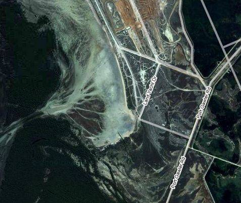
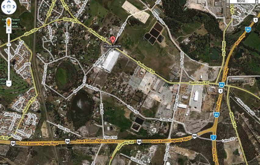
Have a look at the road names of the area...

Go to google maps, select satellite pic and use a program in windows VISTA called "Snipping Tool" in the Accessories folder in "programs" folder.
I think the tool is only in Vista as i have never seen it in XP.
The selected section is then saved as a jpeg file like a picture.