yagon said...
<<<<<
Re the plotting on an aerial photo - I meant after the sailing session, not real time.
>>>>>>
Yep, that's easy, as already said, you can open a .gpx or .kml file in googleearth. If whatever unit you decide on doesn't make these files it self, "gpsbabel" (a free program) will do it for you. There is other commercial software for analysing data that will also save your data as .gpx files
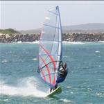
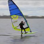
There are several examples of this in "photos - windsurfing"