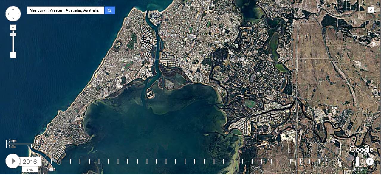
Those Sandy Point point images look unchanged compared to what has happened over this side of the country over the last 30 years.
And while I wont be here to see it, this is what the future may be after 1m and 7m sea level rise


Hardie should be fine..Fangy not so much :-))