Have been doing a little bit of theoretical research (unfortunately I don't live anywhere near there) on Tugun beach.
From the Google Maps guide
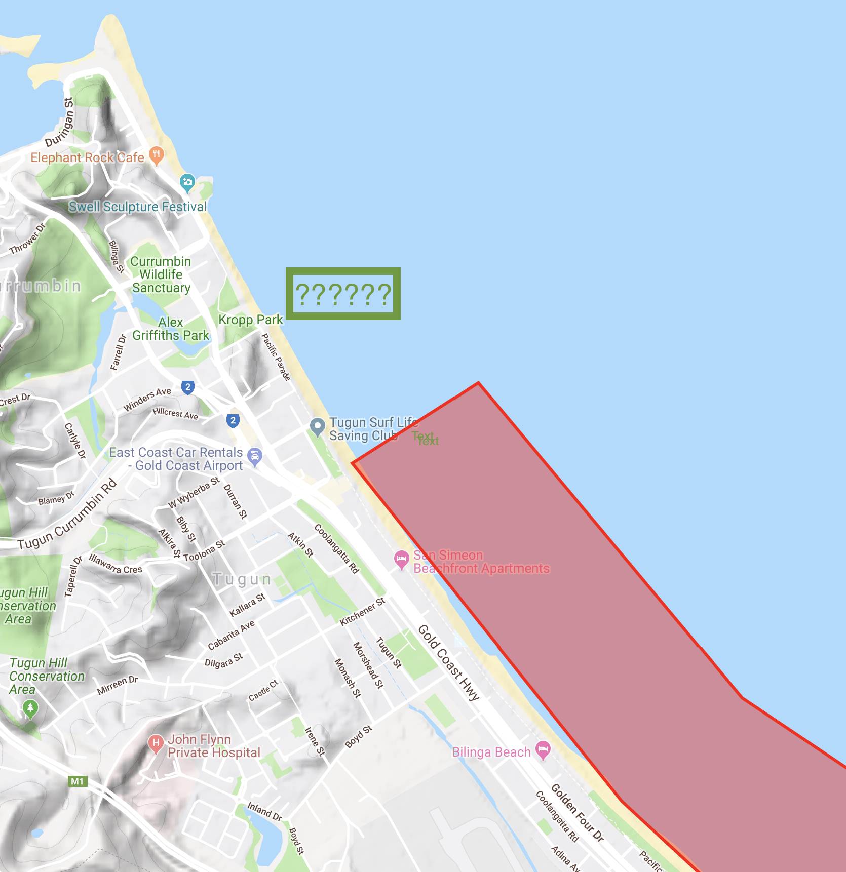
www.google.com/maps/d/viewer?msa=0&mid=1TAirzud8RXT-EpLY_i6DZx9yuVQ&ll=-28.143048889135226%2C153.49970511049855&z=15 I see the red zone for the beach due to Civil Aviation rules and regulations. Found this Google Maps link in this post
www.seabreeze.com.au/forums/Kitesurfing/South-East-Queensland/Where-to-Kite-in-SE-QLD--Google-Map--make-me-a-sticky-please-#2370774Also found this post
www.seabreeze.com.au/forums/Kitesurfing/South-East-Queensland/wave-kiting-Tugun?page=1 on a similar topic.
And this post also has a pic blocking most of the beach except the northern end.
www.seabreeze.com.au/forums/Kitesurfing/South-East-Queensland/No-go-zones?page=1I am planning a holiday and could be spending a bit of time right at the beach at Kropp Park. Do people already launch from here? What is your opinion on kiting a safe, acceptable and respectful distance north of the Tugun SLSC?
I am aware that just north is probably one of the best and a very popular spot which I am sure to visit as well. But I might be staying in a place pretty close to the Tugun beach and it would be great not to need a car.
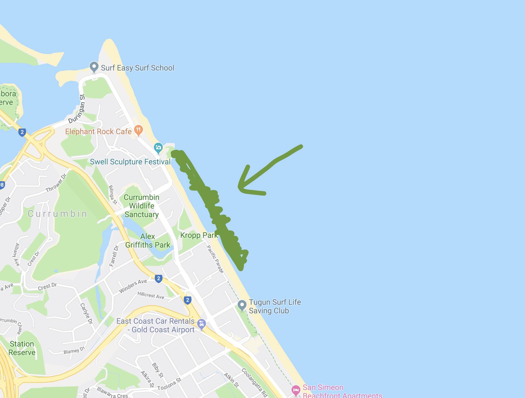
This is the image on the Google Maps guide.