WA Front: Perth Coast Warning Thursday

In short
A winter cold front will bring strong wind warnings to the Perth Coast, Bunbury Geographe Coast and Leeuwin Coast from Thursday 25 June, with the Pilbara already under warning Wednesday.
Northerly winds of 25 to 40 km/h will turn sharply westerly as the front crosses, making bar crossings at Bunbury and Mandurah hazardous through Thursday afternoon and evening.
What to watch
The front crosses Perth coastal waters late Thursday - conditions ease Friday but showers and a westerly swell persist into the weekend.
A Bureau of Meteorology strong wind warning is in force across four WA coastal zones from Thursday 25 June, as a cold front tracks eastward across the southern half of the state.
BOM issued Marine Wind Warning IDW20100 at 1:01 am WST on Wednesday 24 June, covering the Pilbara coasts on Wednesday and extending to the Perth Coast, Lancelin Coast, Bunbury Geographe Coast and Leeuwin Coast from Thursday.
The front's approach
Wednesday sits in the warm sector ahead of the system.
Perth records north to northeasterly winds of 15 to 25 km/h on Wednesday, drawing warm moist air down from the northwest - a reliable pre-frontal signature.
Bunbury is windier ahead of the front, with northerly winds of 25 to 40 km/h forecast Wednesday evening before a brief lull.
Lancelin reads similar: northeasterly 20 to 30 km/h through Wednesday, sunny and deceptively settled until late in the day.
What the front delivers
Thursday is when conditions break.
BOM's coastal waters forecast shows a very high chance of showers for the Perth metropolitan coast Thursday, with winds turning from northerly to westerly and northwesterly through the day.
At Bunbury the change is sharper: northerly 30 to 40 km/h turning west to northwesterly, with a chance of thunderstorm in the afternoon as the front's active edge moves through.
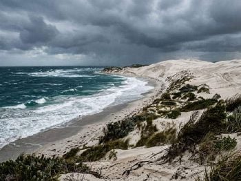
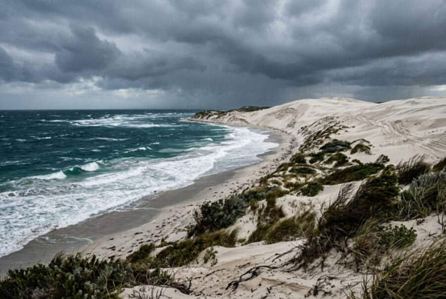
"Winter cold fronts are the primary driver of WA's strongest marine conditions, particularly along exposed coasts between Lancelin and Cape Leeuwin."
Lancelin will see winds of 20 to 30 km/h turning westerly Thursday, with a thunderstorm risk near the coast in the afternoon, according to BOM.
Bar crossings and harbour access
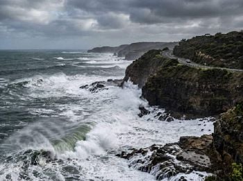
Bunbury Harbour entrance will be at its most exposed Thursday afternoon as north-to-northwest swell generated ahead of the front meets the turning westerly wind.
Mandurah Ocean Marina and the Harvey Estuary entrance will see short steep conditions through the same window.
Bar crossings at both locations carry elevated risk from midday Thursday through Friday morning - hold off until the swell settles.
Fremantle Harbour and the Swan River entrance face uncomfortable seas from midday Thursday as winds reach warning strength along the Perth Coast zone.
Impact for fishers, surfers and kiters
Lancelin is WA's premier kiteboarding and windsurfing destination, and Thursday's northerly-to-westerly shift will produce a difficult cross-offshore to cross-onshore window.
Experienced kiters may find a usable northerly session Wednesday afternoon before the change, but Thursday conditions at Lancelin are unsuitable for most water users.
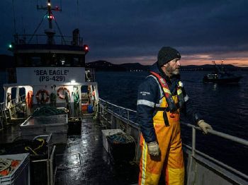
Offshore reef fishing out of Fremantle, Rockingham and Bunbury should run Tuesday or Wednesday - Thursday will be a port day for most boats.
Surf fishers along the Leeuwin Coast from Augusta north to Cape Naturaliste can expect swell to build through Thursday afternoon, with a westerly groundswell developing by Friday morning.
The post-frontal southwesterly swell typically produces clean conditions at exposed beach breaks from late Friday if winds ease as forecast.
Synoptic context
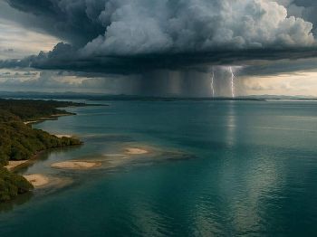
The system is a classic mid-latitude cold front, one of the succession of lows that tracks across southern Australia from April through September, driven by the westerly wind belt.
These fronts are the single biggest driver of WA's coastal marine conditions in winter - stronger systems generate sustained gales along the entire south coast.
The current event is a moderate example: warning-strength winds confined to southern coastal zones, with no gale warnings issued.
What to expect over the weekend
Friday brings easing westerly winds of 15 to 20 km/h for Perth, with showers persisting.
Bunbury continues wet through the weekend, with southwesterly winds of 15 to 25 km/h - better for offshore access than Thursday but still uncomfortable at exposed breaks.
Saturday and Sunday remain showery for most of the WA coast, though wind strengths should fall below warning levels by Friday afternoon in most zones.
FAQs
When is the front expected to cross Perth? Based on the forecast wind shift, the front crosses Perth coastal waters late Thursday - expect the abrupt wind change during Thursday afternoon.
Is Lancelin accessible this week? Wednesday is the best day for any water activity at Lancelin - Thursday is off the table for most users given the warning and thunderstorm risk near the coast.
What about the Pilbara coasts? Pilbara Coast East and West are under strong wind warning Wednesday 24 June - conditions ease Thursday as the front moves south.
Will there be surf? A building westerly swell is expected from Thursday afternoon, with the best clean conditions likely Friday to Saturday morning if post-frontal winds cooperate.
Track the latest WA marine warnings and wind forecasts at Seabreeze WA warnings .