Antarctic blast freezes SE, snow in the alps

In short
A blast of Antarctic air has frozen southeastern Australia, delivering the coldest August morning in 18 years at some inland sites.
Snow is falling across the alps, damaging winds have battered Victoria, and the Bureau has a Sheep Graziers Warning running for the Snowy Mountains.
What to watch
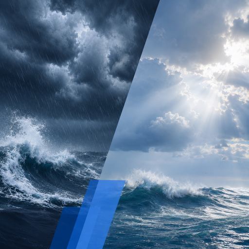
The cold, gusty westerlies and freshly chilled water make the days ahead far riskier on the water than the winter sun suggests.
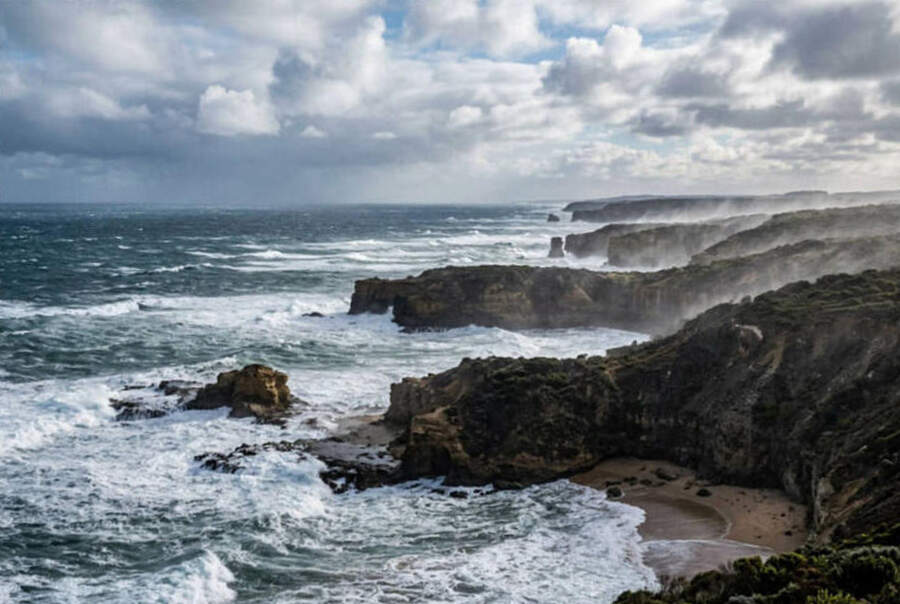
A pool of bitterly cold air straight off the Southern Ocean has swept over southeastern Australia, dragging temperatures far below where early August should sit.
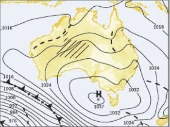
The airmass came up from between Australia and Antarctica behind a trough and cold front, the classic recipe for a deep winter cold snap.
On the coldest morning, Canberra fell to minus 3.9 degrees, a full 4.4 degrees below its August average, while Melbourne shivered through 2.6 degrees.
Some inland spots ran even colder, with temperatures reaching up to 12 degrees below average as the freezing air settled over the ground.
How cold it got
At Leigh Creek in South Australia the mercury slid to minus 0.3 degrees, the town's coldest August morning in 18 years.
Readings like that are not just chilly numbers, they mark a genuinely abnormal event rather than the ordinary ebb and flow of a winter week.
The cold reached from South Australia across Victoria and into New South Wales, gripping the inland, the ranges and the southern coast alike.
Frosty starts, snow to low levels and a hard, cold wind have combined to make it feel colder still on exposed ground and open water.
What is driving the freeze
A cold front and trough swept east across the southeast, opening the door for a surge of polar air behind them.
That air originated over the Southern Ocean between Australia and Antarctica, one of the coldest sources of air that can reach the continent.
Unlike a calm, clear radiative frost, this outbreak is dynamic and windy, so the cold comes packaged with strong westerlies and showers.
The brisk wind strips warmth from anything exposed, which is why the air bites so much harder than the thermometer alone would suggest.
"When the wind blows straight off the Southern Ocean, the sea takes on the cold as surely as the land does, and it holds it far longer."
Snow, hail and damaging winds
Snow showers are falling across the Victorian alps, with Falls Creek and Mount Hotham forecast to drop to minus 3 degrees midweek.
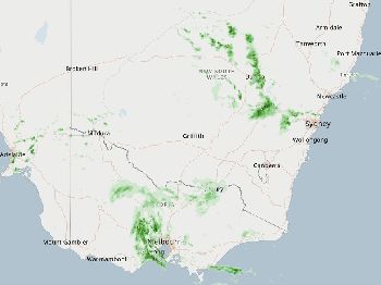
Central and eastern Victoria has faced the risk of heavy showers, large hail and damaging winds as the cold front pushed through.
The Bureau of Meteorology has issued a Warning to Sheep Graziers for parts of the Snowy Mountains, flagging cold, showers and westerly winds on Wednesday.
That warning points to a real risk of losses among lambs and off-shears sheep exposed to the combined chill, wet and wind.
Why it matters on the water
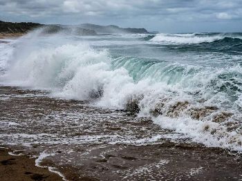
The same cold that grips the land is chilling the water, and southeastern seas and estuaries are now near their coldest of the year.
Royal Life Saving Australia warns that sudden immersion in water below 15 degrees triggers cold water shock, an involuntary gasp and fast, uncontrolled breathing.
That gasp reflex, not hypothermia, causes most cold water drownings, and it strikes within the first minute before the cold reaches your core.
Add strong, gusty westerlies to that cold water and even a short capsize or fall becomes a serious emergency very quickly.
For boaters and paddlers
Strong offshore westerlies can push a kayak, ski or small boat out to sea faster than you can paddle back against them.
Wear a lifejacket every time, because cold shock can incapacitate a strong swimmer long before they reach the shore or the boat.
Dress for the water temperature rather than the air, carry a means of calling for help on your body, and tell someone your plan.
Stay close to shore and inside sheltered water on the windy days, and never launch alone into a cold, gusty offshore breeze.
For anglers
Rock and beach fishers face the same immersion risk, made worse by the wind chill numbing hands and slowing your reactions.
The fishing itself slows in a cold snap, as fish drop into deeper, more stable water and feed less in the coldest hours.
Work the warmer middle of the day, fish the deeper holes and channels, and slow your presentation right down to match sluggish fish.
How long it lasts
The Sheep Graziers Warning targets Wednesday, and snow showers are forecast across the alps through midweek before the pattern slowly relaxes.
As the front clears and the wind swings back, the daytime chill will ease, though frosty mornings can linger under any clearing skies.
The water stays cold longest of all, holding near its winter low for weeks after the air has warmed back up.
Common questions
Is this cold snap unusual?
Yes, with temperatures up to 12 degrees below average and the coldest August morning in 18 years at Leigh Creek, this is a genuinely abnormal outbreak.
Why does the wind make it feel so much colder?
Moving air carries heat away from your skin far faster than still air, so a cold wind drives the felt temperature well below the reading.
Is a sunny, cold day safe to paddle?
The sun is deceptive, because the water is near its coldest and the offshore wind is strong, so treat these days with more caution, not less.
When will it warm up?
The daytime cold eases as the front clears and the wind eases, though the water and the frosty mornings stay cold for much longer.
Plan around the cold, gusty days with the Seabreeze Melbourne wind forecast , and check the latest Victorian warnings before you head out.