Yarrawonga Radar: What It Covers

Quick summary
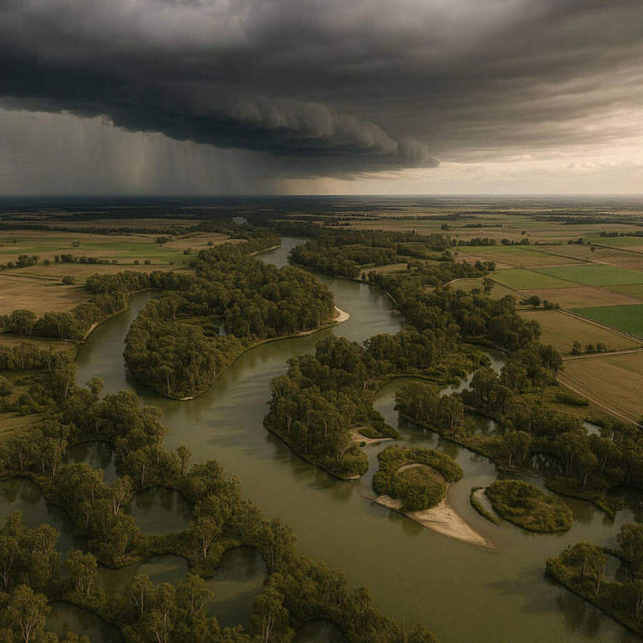
Yarrawonga radar covers a 512km radius centred near the Murray River on the NSW-VIC border, tracking fronts sweeping east from SA.
It's the first radar to see cold fronts entering SE Australia from the Southern Ocean, giving coastal users early warning 6-12 hours ahead.
Why it matters
If you're planning a weekend offshore in Victoria or southern NSW, checking Yarrawonga alongside your coastal radar gives the most complete picture of incoming systems.
Most boaters focus on their nearest coastal radar, but the Yarrawonga installation provides something more valuable: early sight of systems still 400-600km inland.
The site sits near Lake Mulwala on the Murray River, about 280km northeast of Melbourne and 380km southwest of Sydney.
What the coverage area means in practice
On the 512km sweep, Yarrawonga reaches west toward Broken Hill, north toward Dubbo and Wagga, and south past the high country to just short of the Victorian coast.
Cold fronts that enter SE Australia from the west appear on the Yarrawonga 512km loop approximately 6-10 hours before they reach Port Phillip Bay or the NSW South Coast.
This lead time is the radar's primary value — coastal installations like the Melbourne or Canberra radar only see these systems 1-3 hours out.
Reading front types on Yarrawonga
Cold fronts appear as sharp north-south oriented line echoes tracking eastward at typically 40-70km/hr.
The faster the line echo moves across the 512km image over successive frames, the shorter your window to prepare at the coast.
"A front travelling at 60km/hr and 300km west of Port Phillip is five hours away — check the Yarrawonga 512km loop tonight if you're launching tomorrow morning."
Troughs and pre-frontal squall lines often precede the main front by 50-100km and can appear as isolated cells ahead of the main echo band on the Yarrawonga radar.
Murray River boating use
For boaters on the Murray between Albury and Echuca, Yarrawonga radar is the most relevant local installation.
Afternoon thunderstorms track into the region from the northwest during summer — cells that appear at the western edge of the 128km loop have roughly 45-90 minutes to reach lake and river access points.
The Murray is exposed to westerly and southwesterly squalls with no sheltering terrain — move to a sheltered bank or ramp well before a cell reaches your position.
Combining Yarrawonga with coastal radars
The best practice for Victorian offshore planning is to check Yarrawonga 512km first for the big picture, then switch to Melbourne or Adelaide radar for fine-scale timing as the system approaches.
For NSW South Coast users, Yarrawonga paired with the Canberra and Sydney radars gives complete inland-to-coast tracking.
Monitor incoming conditions via the Seabreeze radar loops and select your region from the map.
Common questions
Why does the Yarrawonga radar look different from coastal ones? Inland radar experiences more beam blocking from terrain and more anomalous propagation due to temperature inversions — low-level echoes near the surface can be unreliable.
Can I use it for Murray fishing trips? Yes — it's the most relevant radar for the upper Murray and Hume Reservoir, giving you clear sight of afternoon storm development from 1-2 hours away.