How to Read Australian Weather Radar

Quick summary
Australian BOM radar uses a standard dBZ colour scale: blues and greens are light rain, yellows are moderate, reds and purples indicate heavy to extreme rainfall.
Running 6-10 frames before heading out lets you calculate storm movement speed and direction to within about 10-15 degrees.
The core skill
Track the movement of a cell's centre across three consecutive frames, note the time interval, and calculate its speed and direction — that's your window.
Australian weather radar uses the same physical principles worldwide: a rotating antenna sends out microwave pulses and measures the energy reflected back by precipitation.
The returned signal, measured in dBZ (decibels of reflectivity), is what you see as colour on screen.
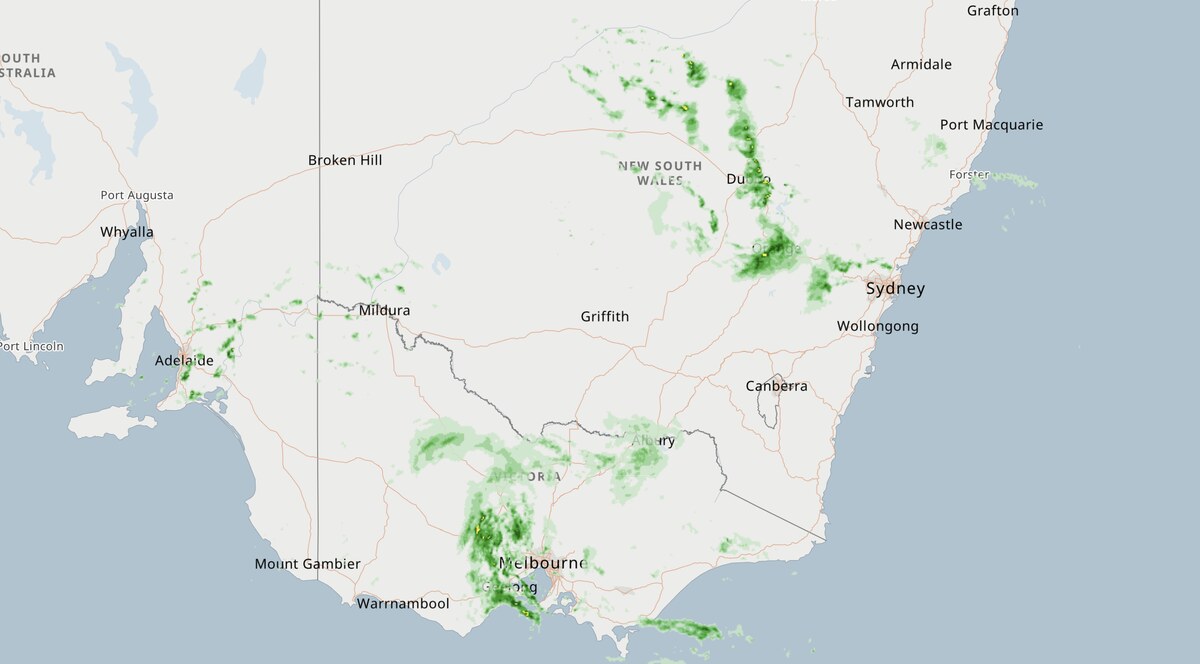
The 64km vs 128km vs 256 vs 512km loop
The Seabreeze Australia wide radar supports these convenient sizes, if you're familiar with the old BoM Rain Radar. There are hotlinks just below the map. Select to zoom in to the level that you most prefer and gives you the best overview of the rain.
Calculating storm movement
Load at least 6 frames and run the loop animation to establish the direction a cell is moving.
Identify a fixed reference point on the radar image (a city or bay) and watch how the leading edge of a cell moves relative to it across frames.
If each 6-minute frame shows the cell advancing roughly 8km, the cell is moving at 80km/hr — fast enough to cover 40km in 30 minutes.
Radar artefacts to ignore
Anomalous propagation (AP): ground clutter from temperature inversions appears as static, irregular patches that don't move between frames — not rain.
Sea clutter: speckled returns over open ocean from wave-top reflections, usually within 30-50km of the antenna and often filtered automatically.
Beam blockage: permanent terrain shadows appear as wedge-shaped gaps in the radar coverage — check the BOM site coverage map to know your radar's blind spots.
Sun spike: a brief radial line of strong returns pointing toward the sun at sunrise and sunset — lasts one or two frames and is not precipitation.
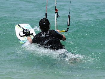
Combining radar with wind forecast
Radar shows you rain; the Seabreeze wind forecast shows you the wind embedded in those cells.
A yellow cell with a gust warning associated with it is far more dangerous than the same cell in calm, stable air.
Common questions
Does radar show wind speed? Standard single-polarisation radar does not; Doppler-enabled radar can show radial wind velocity, but this is not displayed in the standard BOM public product.
How far ahead can I plan using radar? Radar is best for 0-3 hours; beyond that, the numerical forecast model underlaying the Seabreeze wind forecast is more reliable.
Why does rain radar sometimes show returns at night with clear skies? Insects and migrating birds return a radar signal and can produce widespread light-green returns in warm months — the pattern typically disperses after dark as insects descend.