Newcastle Radar: Hunter Coast Guide

Quick summary
The Newcastle radar sits at Kurnell and covers from Sydney Harbour north through Port Stephens and the Hunter, with 512km reaching to the mid-north coast.
It provides the earliest sight of southerly change cells moving up the coast from Sydney toward Nelson Bay and Port Stephens.
Key use case
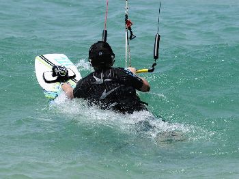
If you're fishing offshore from Newcastle or Nelson Bay, use the Newcastle radar to track southerly busters approaching from the south before they hit Port Stephens.
The Hunter Coast sits between two major radar installations — Newcastle (Kurnell) to the south and a gap in the northeast that makes the Hunter radar critical for offshore planning.
The BOM Kurnell antenna provides coverage that includes Newcastle Harbour, Port Stephens, Lake Macquarie, Forster-Tuncurry and the Hunter Valley inland.
Understanding southerly buster tracking
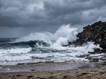
The Hunter Coast's most dangerous rapid change is the southerly buster — a line of squalls moving northward up the NSW coast at 20-40km/hr.
On the Newcastle radar, a buster appears as a defined arc of green-yellow returns tracking northward from Sydney's direction, often with a sharp leading edge and lighter returns behind.
Timing from radar: if the leading edge of a buster is at latitude 34°S (about level with Sydney) and you're fishing from Nelson Bay (33°S), you have roughly 1.5-2 hours before the change arrives.
"The worst southerly busters don't announce themselves gradually — the radar changes from clear to solid yellow in two or three frames. Once you see yellow at Sydney, start heading in."
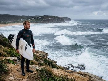
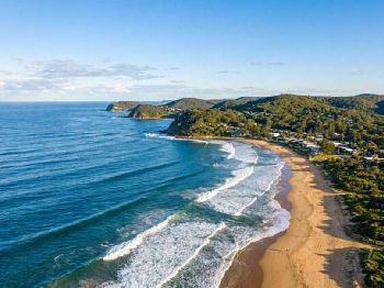
Port Stephens and Nelson Bay specifics
Port Stephens opens northeast, making it particularly exposed to northeast swell and northerly squalls, but offering protection from southerly changes once inside the bay.
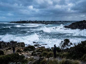
The bar at the Port Stephens entrance requires careful timing — a southerly change can raise a dangerous bar crossing swell within 30 minutes of the wind shift.
Use the Newcastle 128km radar to monitor the bar region and confirm conditions before committing to an entry during any change.
The Hunter Valley cells
In summer, afternoon thunderstorms develop over the Hunter Valley ranges and track northeast toward the coast between 2pm and 6pm.
These cells appear on the western edge of the 128km sweep and can reach Newcastle in 30-60 minutes.
A cell over Maitland or Cessnock is heading directly toward Newcastle and the coast — plan your return before it arrives.
Using Newcastle radar alongside wind forecasts
Radar tells you where rain is now; the Seabreeze Newcastle wind forecast shows you the direction and strength of the change once it arrives.
Check both before any offshore trip north of Sydney — the combination gives you current cell position plus forecast conditions post-change.
Common questions
Why can't I see anything north of Foster-Tuncurry on Newcastle radar? Coverage thins past 200km; the Grafton radar picks up the mid-north coast from there.
What does a sea echo look like on the Newcastle radar? The Tasman appears as a semi-circular zone of faint, speckled returns in open water — these are sea clutter from wave tops and can be filtered out on the website.