Flood watch as a wild winter storm sweeps south

In short
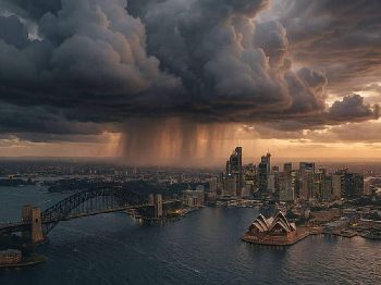
A powerful winter storm is sweeping across southern Australia, and this time the headline hazard is heavy rain rather than snow alone.
The Bureau of Meteorology has a flood watch running for ten catchments in Victoria's ranges, with damaging winds and alpine blizzards to follow.
What to watch
Rivers will rise fast in the ranges, so treat flooded waterways, debris and swollen coastal bars as the real danger this weekend.
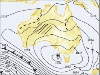
Southern Australia is in for a genuinely wild few days as a deep low and its cold front drag a broad band of rain and wind across the country.
What sets this system apart from a run-of-the-mill winter front is the moisture feeding into it, which is turning a windy change into a serious rain event.
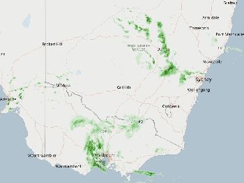
The Bureau of Meteorology has issued a flood watch covering ten catchments across Victoria's ranges, with flooding possible from late Sunday into the new week.
What the Bureau is warning
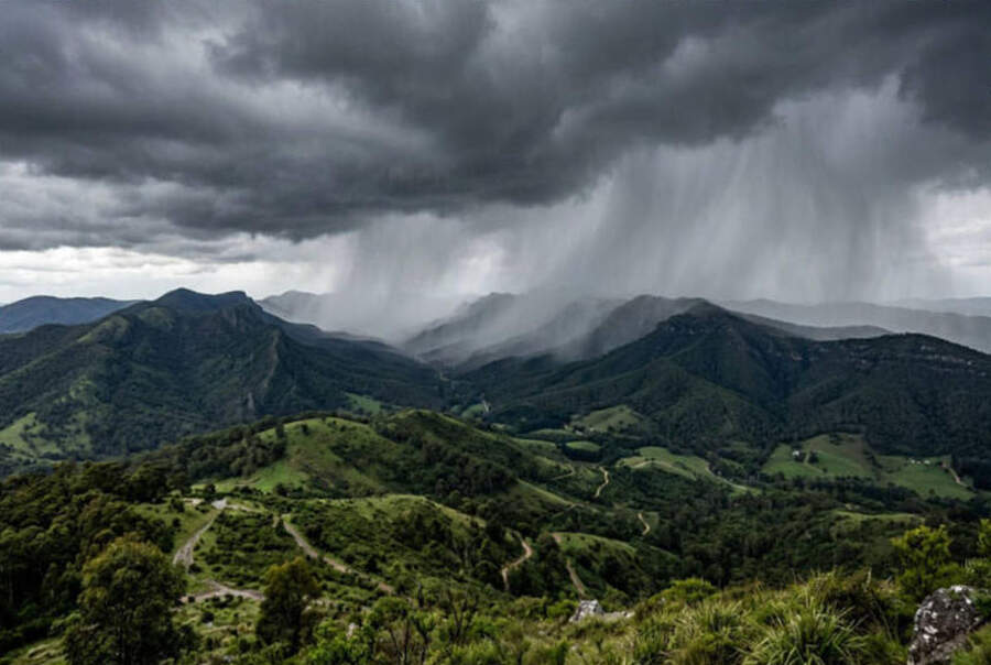
The flood watch is the headline, and it points to minor to moderate flooding developing across catchments in Victoria's central and north-east ranges.
The trigger is rainfall, with at least 25 millimetres expected across large parts of southern Australia as the system moves through.
Southern coastal and ranges districts, including around Adelaide, could see more than 50 millimetres, while north-east Victoria's high country may record close to 100 millimetres.
On already damp winter ground, falls of that size run straight off the hills and into the rivers, which is exactly what a flood watch is built to flag.
The rain and the flood risk
Heavy winter rain behaves differently from a summer downpour, because cold soils and full catchments have little capacity left to soak it up.
That means even moderate totals can lift creeks and rivers quickly, and the ranges funnel that water downstream into the valleys below.
The Bureau's flood watch is a heads-up rather than a flood warning, telling you the ingredients are in place before any river actually breaks its banks.
If you live or play near a river in the watch area, now is the time to move gear off low ground and check your local river levels.
"A flood watch is the Bureau telling you the loaded gun is on the table; the warning comes later, and by then your options are far fewer."
Damaging winds across the south
The same system brings a serious wind threat, with the deep low tightening the pressure gradient right across the southern states.
Gusts could top 90 kilometres an hour around Melbourne, Sydney and Canberra, the level at which trees and power lines start to come down.
Over exposed southern coastal and ranges areas the strongest gusts may exceed 100 kilometres an hour, which is genuinely destructive wind.
Perth sits around 80 and Adelaide around 70 kilometres an hour on Sunday afternoon, so the western capitals feel the front well before the east does.
Snow and blizzards in the alps
Behind the front a cold airmass pushes in, and once the rain turns to snow the alpine resorts are in for a heavy, wind-driven top-up.
The Bureau's forecast has at least 20 centimetres of snow in 24 hours, with up to 50 centimetres possible on the higher peaks.
Blizzard conditions are on the cards on Monday, when strong wind and falling snow combine to strip visibility on the exposed tops.
It is a boon for the season's snow base, but the mix of cold, wind and low visibility is dangerous for anyone travelling in the backcountry.
How the system unfolds
The change reaches the Western Australian coast first, arriving overnight before spreading east across South Australia on Saturday.
It then intensifies over the southeastern states through Sunday, which is when the heaviest rain and the strongest winds line up together.
A second front follows behind the first, reaching the southeast around Tuesday and Wednesday and keeping the unsettled pattern going into midweek.
So this is not a single sharp change but a multi-day event, with wave after wave of rain and wind rolling through the south.
What it means on the water
For boaters the message is blunt, because rising rivers and a big wind make the coming days a poor time to be out.
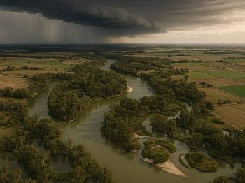
Flooded rivers carry logs, branches and other debris downstream, turning a familiar estuary into an obstacle course almost overnight.
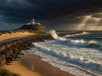
Coastal bar crossings become especially dangerous when heavy river outflow meets an incoming swell and a strong onshore wind.
Rock and beach fishers face the wind and the sea state, so save the session for the calmer window that follows midweek.
How long will it last
The worst of the rain and wind clears the southeast after Sunday, but the second front keeps showers and gusts going into Wednesday.
River levels tend to peak after the rain has stopped, so the flood risk in the ranges can linger for a day or two beyond the storm.
Alpine snow showers ease later in the week as the wind slowly backs off and the airmass moderates.
Keep checking the Bureau's warnings, because a flood watch can be upgraded to a warning quickly once the rivers start to respond.
Common questions
What is the difference between a flood watch and a flood warning?
A watch means flooding is possible and the conditions are developing, while a warning means flooding is happening or is imminent in a named area.
How much rain is expected?
At least 25 millimetres across much of the south, more than 50 in southern coastal and ranges districts, and close to 100 in north-east Victoria's high country.
How strong will the wind get?
Gusts could top 90 kilometres an hour in the southeastern capitals and exceed 100 over exposed coastal and ranges areas.
When is it safe to head back out?
Wait for the calmer window later in the week, and always check river levels and the marine forecast before you launch.
Track the change with the Seabreeze Melbourne wind forecast , and check the latest Victorian warnings before you head out.