WA Gale Warning: 125km/h Gusts This Weekend
In short
A powerful low-pressure system is forecast to bring destructive 125 km/h gusts to Perth and the lower west coast from Sunday, June 1.
This is the fourth significant low to impact southern Australia within a single week, capping the wettest May in decades for parts of the east.
What to watch
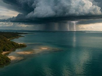
Track the system as it sweeps into the Bight on Monday, with another round of gales and rain expected across SA, Victoria, and southern NSW into Tuesday.
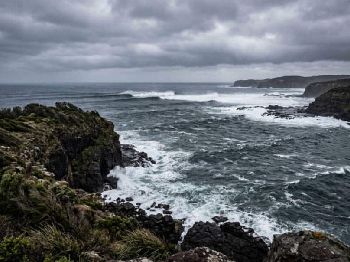
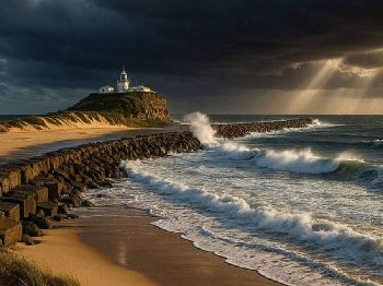
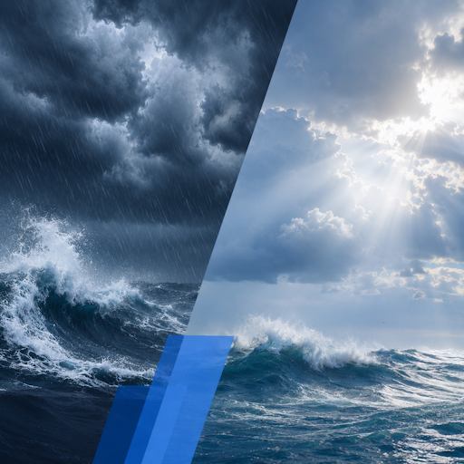
A destructive gale warning is shaping up for Western Australia this weekend, with a deep low-pressure system expected to arrive off the south-west capes from Sunday and produce the strongest wind event to hit Perth in months.
Central pressure modelling shows the system deepening to near 980 hectopascals off the SW capes - the equivalent of pressure found inside a category 2 tropical cyclone.
According to ABC meteorologist Tom Saunders, wind gusts along the lower west coast - including around Perth - could reach destructive speeds of 125 km/h (67 knots), strong enough to uproot trees, cause power outages, and inflict minor structural damage.
That puts every vessel in Fremantle, Mandurah, Bunbury, and Busselton squarely in the firing line if skippers do not act before Sunday morning.
"Some modelling indicates the low's central pressure could drop to near 980 hectopascals off the south-west capes, equivalent to the pressure seen in category 2 tropical cyclones." - ABC meteorologist Tom Saunders
How this system developed
The arriving WA low is not an isolated event - it is the fourth significant low-pressure system to impact southern Australia in just five days.
That sequence has already delivered record rainfall across the country's east, with 123mm falling at Renmark, SA - the town's wettest May on record stretching back to 1889, according to the Bureau of Meteorology.
Dubbo in NSW recorded 134mm for May so far - its wettest in 43 years - while Walpeup in Victoria measured 68mm, the most for May since 1992.
The atmospheric driver behind this run of lows is an active Southern Ocean trough combining with a burst of tropical moisture feeding through a transition zone as La Nina conditions break down and El Nino begins to take hold.
BOM senior climatologist Caitlin Minney noted that long-range outlooks still point firmly toward El Nino and a drier-than-normal winter, even as this month's rainfall surpassed all forecasts.
That contrast - record wet May immediately preceding a likely dry winter - is something every skipper or surfer planning a late-autumn or winter season should have on their radar.
What WA boaters and shore fishers face
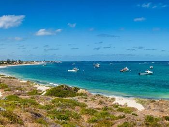
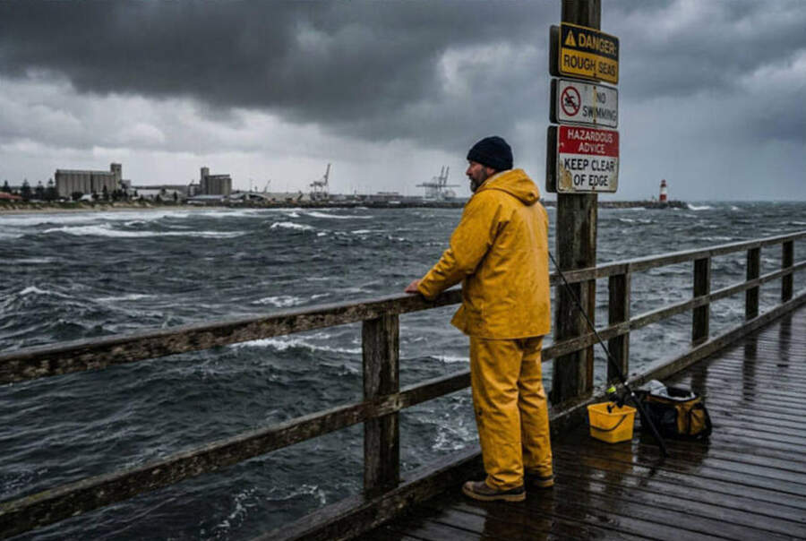
For anyone with a trailer boat based between Two Rocks and Augusta, the call is straightforward: clear the water before Saturday evening or stay tied up until Monday at the earliest.
Offshore marks outside the SW capes - including the reef systems off Rottnest Island and the seasonal squid grounds near the Abrolhos - will be completely unfishable Sunday through Monday.
Inshore waterways such as the Swan River and Peel-Harvey Inlet will be rough by Perth standards, with sustained gale-force gusts making the Narrows and Success Harbour uncomfortable and dangerous for smaller vessels.
Dinghy and kayak fishers should avoid all coastal and estuarine exposure from Saturday afternoon onward.
Surfers - read this before heading south
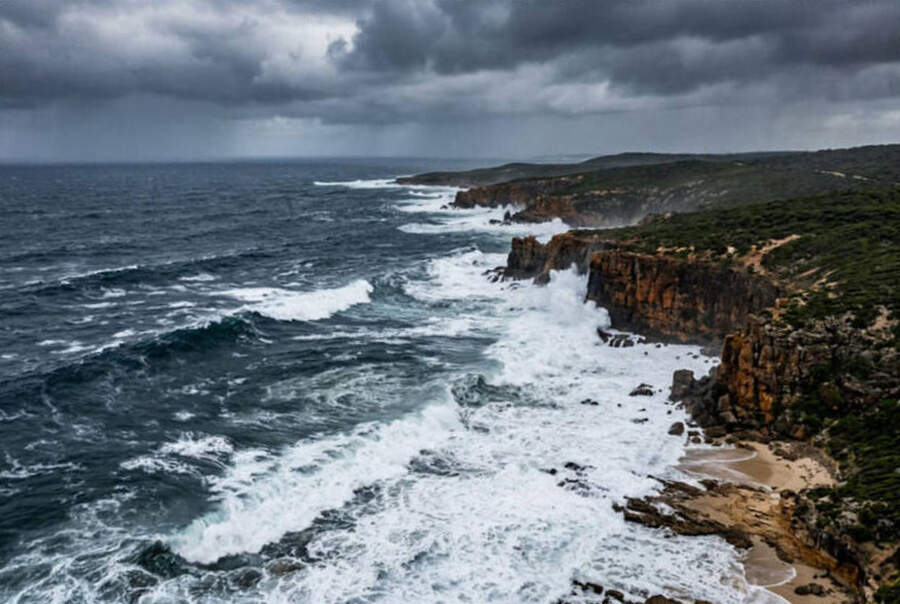
A 125 km/h gale generating long fetch directly off the Southern Ocean will produce significant swell at Margaret River, Yallingup, and Prevelly, but onshore winds and confused seas will make most exposed breaks dangerous rather than surfable.
Expect powerful but messy 3-5m surf at exposed reefs, with strong rip structures and wash-through on beaches making conditions unsuitable for all but expert local surfers who know specific shelter options.
Saturday morning before the low arrives may offer a brief window of offshore winds and building swell at north-facing breaks, but conditions will deteriorate rapidly from Sunday.
Wednesday or Thursday next week is the likely sweet spot for those chasing quality south swell after the system clears and offshore winds re-establish.
What happens after WA
Once the low crosses the WA coast, it is forecast to sweep into the Bight on Monday and carry fresh gales and rain into South Australia, most of Victoria, and southern inland NSW through Tuesday.
Agricultural regions across SA and Victoria are forecast to receive at least another 15mm from this system, adding to totals already well above May averages across most of southern Australia.
A fifth low is then possible from mid-week, starting in WA on Tuesday and spreading east - meaning a sustained sequence of active weather could continue through the opening fortnight of winter.
Planning ahead for winter passages
Despite this week's exceptional rainfall, BOM's three-month winter outlook still points to below-average rain for south-western WA, south-eastern SA, and most of Victoria from June to August.
The wet May has replenished some moisture, but El Nino's developing influence means the window for reliable westerly weather systems is likely narrowing as we move deeper into the season.
For sailors planning passages between Fremantle and Albany, or skippers readying for winter haulout, this weekend's system is a clear reminder to build contingency days into any late May or early June itinerary.
Track the latest conditions on the Seabreeze WA warnings page for real-time updates before departure.
FAQ
Will Perth city itself see 125 km/h gusts? That figure is the worst-case scenario modelled for the lower west coast including the city - some models show a less severe system, and the exact track will determine peak exposure for the metro area.
How long will rough conditions last off the WA coast? The main window of destructive gusts is modelled for Sunday into Monday, with a secondary trough and further showers likely mid-week.
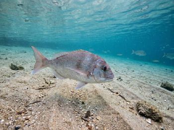
Is it safe to dive at Rottnest or the metro reefs this weekend? No - visibility will be poor and conditions unsafe Sunday through Tuesday, and ferry operators will suspend access well before conditions reach their peak.
Will there be good surf at Margaret River once the low passes? Yes - Wednesday or Thursday is the likely window for quality swell with restored offshore winds after the system clears the coast.

Cold front clears, high settles the southeast
Frosty mornings, light winds, flatter seas ahead