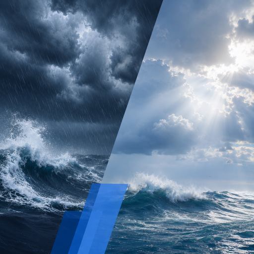
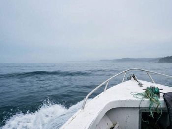
Hazardous surf batters SE Queensland coast

In short
A coastal low off southeast Queensland has driven gale-force southerlies and a dangerous, pounding surf along the Gold Coast, Moreton and Stradbroke this weekend.
The Bureau of Meteorology ran a Hazardous Surf Warning through the event, and Surf Life Saving Queensland urged people to stay out of the water.
What to watch
The system is now easing into early next week, but a big, disorganised swell and strong rips linger well after the wind drops.
A vigorous coastal low tracking off southeast Queensland has whipped the coast into a weekend of gale-force winds, heavy surf and beach closures.
The low fed on a tight pressure gradient between itself and a strong high anchored inland, and that squeeze is what drove the wind so hard along the coast.
Southerly to southeasterly winds strengthened to strong and gale force across the waters off the Gold Coast, Moreton Island and North Stradbroke Island.
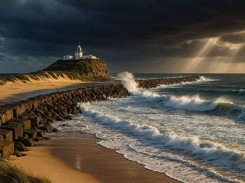
Those powerful onshore winds stacked up a punishing sea, with waves running to four and five metres against the region's most exposed beaches and bars.
What the Bureau warned
The Bureau of Meteorology issued a Hazardous Surf Warning for the Gold Coast Waters through the peak of the event, flagging dangerous surf and strong rip currents.
Hazardous surf warnings are aimed squarely at rock fishers, swimmers and boaters, because these are the conditions that sweep people from ledges and capsize small craft on the bars.
Surf Life Saving Queensland reinforced the message, urging people to stay out of the water and well back from exposed rocks and headlands.
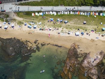
Many patrolled beaches were closed or flagged off as the surf peaked, with the shore break heavy enough to knock down and hold even strong swimmers.
"A four to five metre swell driven by gale-force onshore wind is not a spectator sport from the rocks; it is exactly the sea that drags people in."
Why a coastal low bites so hard
A coastal low is a small, intense area of low pressure that forms or deepens close to the coast, often within a day and with little warning.
Because it sits so near the shore, its strongest winds blow straight onshore, and onshore wind over a long fetch is what builds a steep, dangerous sea.
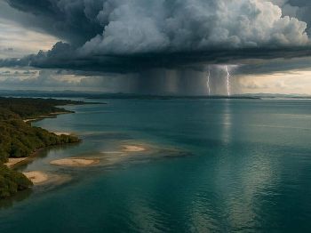
The same system usually drags a plume of moisture over the coast, so heavy rain and poor visibility tend to arrive with the wind and the swell.
Unlike a clean groundswell from a distant storm, this sea is short, steep and confused, which makes it far harder to read and to cross a bar in.
Rain and coastal erosion
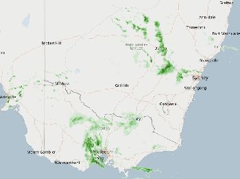
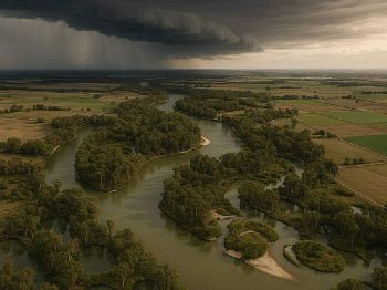
Persistent onshore flow brought bands of rain across the southeast corner and the far northern rivers of New South Wales through the event.
Days of wind-driven swell also chew at the beaches, stripping sand from the face and cutting the steep scarps that mark a serious erosion event.
Elevated water levels and a battering shore break can undermine dunes, access tracks and infrastructure sitting close behind the frontal beaches.
Sand pushed offshore during a low like this can take weeks of calmer weather to work its way back up onto the beach.
What it means on the water
For boaters, the danger is concentrated on the coastal bars, where a big, disorganised swell meets shallow water and turns into breaking, unpredictable seas.
Crossing a bar in these conditions is a genuine risk to life, and the safest call through the peak has simply been to stay in port.
Rock and beach anglers face the sharpest immersion risk, with sets surging far higher up the rocks than the smaller waves in between suggest.
Even as the wind eases, the leftover swell keeps the rips running hard, so the water stays dangerous for days after the sky clears.
When it eases
The Bureau's latest Gold Coast Waters forecast has the wind dropping back to about ten knots from the east to southeast early next week.
Seas are expected to fall below one metre, with the swell easing to around one to one and a half metres inshore as the low pulls away.
That is a marked change from the weekend, and it opens a calmer window for boaters who waited the system out in port.
Even so, the first clean day after a big low often carries a lingering, powerful groundswell, so check the surf before you commit to a bar or a rock ledge.
Staying safe as it clears
Wait for the swell to settle, not just the wind, because the most dangerous water often comes on the bright, calm morning right after the blow.
Check the warnings and the marine forecast before every trip, and if a bar looks marginal, back off and wait for the next tide or the next day.
Wear a lifejacket, carry a means of calling for help on your body, and never fish exposed rocks alone while a big swell is running.
Common questions
Is the hazardous surf over?
The worst has passed as the low moves off, but a large, easing swell and strong rips can stay dangerous for several days afterward.
Can I cross the bar now?
Wait for the swell to drop, check the latest marine forecast, and if the bar is still breaking or confused, do not attempt it.
Why did this blow up so fast?
A coastal low can deepen close to shore within a day, so its strong onshore winds and big seas arrive with far less warning than a distant storm swell.
Will the beaches recover?
The sand stripped offshore usually returns over weeks of calmer weather, though the eroded scarps and access damage can take longer to repair.
Track the change with the Seabreeze Brisbane wind forecast , and check the latest Queensland warnings before you head out.