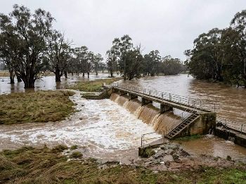
Loddon still in minor flood at Appin South
In short
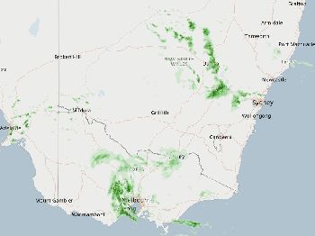
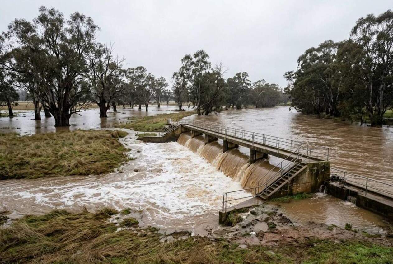
The Loddon River is still in minor flood at Loddon Weir and Appin South, with the Bureau of Meteorology reading 2.98 m (9.8 ft) and steady at Appin South.
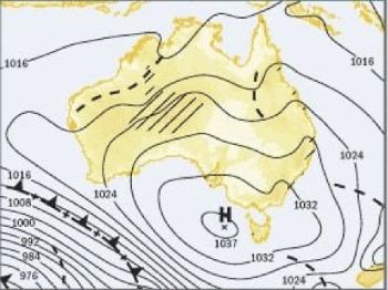
A high-pressure system over southern Australia near 1032 hPa has flattened the coast and slowed the flood drainage inland at the same time.
What to watch
Renewed rises at Appin South as a second peak arrives, and strong wind warnings returning to Port Phillip on Tuesday.
Last day of winter, and inland Victoria is still carrying water while the coast has gone as flat as a tack.
The Bureau of Meteorology had the Loddon River at Appin South at 2.98 m (9.8 ft) and steady at 9:00 am Sunday, above the 2.80 m (9.2 ft) minor flood level.
That figure comes from flood warning IDV36810, warning number 27, issued at 9:25 am AEST on Sunday 30 August for the Loddon River.
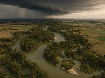
The Bureau says the flood peak is now moving downstream of Appin South, where minor flooding is likely to continue for the next few days.
Two peaks, one river
Upstream, the Bureau recorded the Loddon Weir (TW) gauge at 3.81 m (12.5 ft) and falling at 9:00 am Sunday, with minor flooding occurring there.
That is the second peak, and the Bureau expects renewed rises at Appin South as it arrives early this week.
The Victorian State Emergency Service has an Advice - Stay Informed message running for the Loddon River from Loddon Weir to Kerang, last updated about 9:48 am Sunday.
VicEmergency says the Loddon at Appin South peaked at 3.09 m (10.1 ft) around 9:00 pm on Thursday 27 August, and was sitting at 3.05 m (10.0 ft) and steady on Sunday morning.
The State Emergency Service expects the river to stay above the 2.80 m (9.2 ft) minor flood level across the weekend and into this week.
Why the water is not going anywhere
James Pescott of the Bureau of Meteorology summed up the driver behind both the calm coast and the crawling flood peaks.
"At the moment the main thing driving our weather is a large high-pressure system over southern Australia, and that's drifting slowly eastwards."
At 9:00 am Monday the Bureau had mean sea level pressure at 1032.5 hPa at Melbourne Olympic Park and 1031.6 hPa at Sydney Observatory Hill.
A high that big does two jobs at once, and water sports people cop both ends of it.
It shuts off the rain, so nothing new is loading the catchment, and the existing flood is drained by gravity alone through flat country.
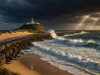
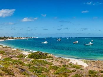
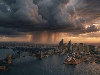
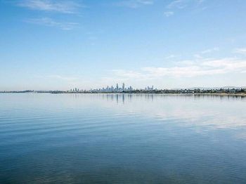
"The same high that has Port Phillip and Sydney Harbour looking like a millpond this morning is why the Loddon peak is still parked at Appin South."
What it means on the Loddon and the Avoca
If you had a launch planned anywhere between Loddon Weir, Appin South and Kerang this week, leave the trailer in the shed.
The State Emergency Service says lower areas of the Loddon floodplain may be flooded, including some minor roads, and that roads and bridges may be closed.
Its advice is blunt and worth repeating at every ramp: never drive, walk or ride through floodwater.
On the Avoca, the Bureau's warning IDV36820 issued at 10:28 am Sunday had Charlton Town at 4.04 m (13.3 ft) steady, just over the 4.00 m (13.1 ft) minor flood level.
The Bureau expected Charlton Town to fall below minor flooding on Sunday evening, with Charlton Downstream already at 2.38 m (7.8 ft) and falling.
Quambatook is the one to watch, with the Bureau reading 1.72 m (5.6 ft) steady on Sunday morning and renewed minor flooding possible from Monday afternoon.
The Bureau says Quambatook may exceed the 2.00 m (6.6 ft) minor level and peak near 2.10 m (6.9 ft) overnight Monday into Tuesday.
Can I launch at Kerang or Appin South this week?
No, minor flooding is occurring from Loddon Weir to Kerang and the State Emergency Service warns some minor roads and bridges may be closed.
How high is the Loddon at Appin South?
The Bureau of Meteorology had it at 2.98 m (9.8 ft) and steady at 9:00 am Sunday, against a minor flood level of 2.80 m (9.2 ft).
Is another peak coming?
Yes, the Bureau says a second peak from Loddon Weir is moving downstream, with renewed rises expected at Appin South early this week.
When does the coastal calm end?
Tuesday 1 September, with the Bureau issuing strong wind warnings for Port Phillip, the West Coast and the Central Coast.
Keep an eye on river heights and marine warnings through the week on Seabreeze Victorian warnings before you hook up the boat.


Moderate flood at Sale as Thomson peak arrives
Thomson River flooding at Sale after rain eased