Thredbo gusts 78 km/h as spring front hits

In short
Thredbo Top Station recorded a northwesterly gust of 42 knots (78 km/h) at 8.30am Tuesday, with the Bureau of Meteorology warning of damaging alpine winds above 1900 metres.
What to watch
The northerly builds through the afternoon and peaks late this evening before easing ahead of dawn Wednesday.
The first morning of meteorological spring did not arrive as a lazy sea breeze day, and the numbers off the Alps tell you exactly why.
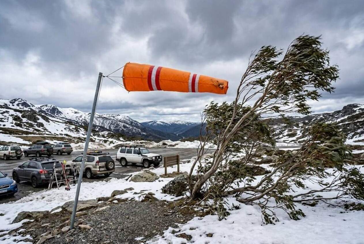
Thredbo Top Station was sitting on 2.9 degrees with a northwesterly averaging 32 knots (59 km/h) and a gust to 42 knots (78 km/h) at 8.30am Tuesday, on Bureau of Meteorology data.
Falls Creek logged 23 knots (43 km/h) gusting 33 knots (61 km/h) at 8.37am, and Mount Hotham Airport 22 knots (41 km/h) gusting 34 knots (63 km/h).
Monday was a millpond, today is not
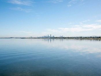
The contrast is stark, because at 9am Monday Melbourne Olympic Park was reading a south southwesterly at 3 knots (6 km/h) with a gust of just 5 knots (9 km/h).
Twenty four hours later the same site had a northerly at 12 knots (22 km/h), gusting 21 knots (39 km/h), and a temperature four degrees warmer at 15.6.
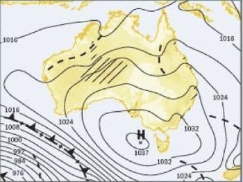
The giveaway is the barometer, which fell from 1032.5 hPa at 9am Monday to 1020.6 hPa at the same time Tuesday on Bureau of Meteorology observations.
That is nearly 12 hPa in a day, and it is the parked high that made Monday glassy finally shifting away to the east.
The high has drifted, the front is the next act
Bureau of Meteorology forecaster James Pescott summed up the setup on Monday, before the change began to bite.
"At the moment the main thing driving our weather is a large high-pressure system over southern Australia, and that's drifting slowly eastwards," Pescott said.
That high has now weakened and moved on, and the front behind it is the story for anyone with a boat, a board or a kite.
Ahead of it, vigorous north to northwesterly winds are already established over the ranges and are starting to feed down onto the bays.
Warnings on the board
The Bureau of Meteorology issued severe weather warnings for damaging winds early Tuesday morning covering the Snowy Mountains, Victoria's alpine districts and much of southern and eastern Tasmania.
In the Snowy Mountains, winds averaging 80 to 90 km/h (43 to 49 knots) are possible above 1900 metres from Tuesday morning, peaking late in the evening.
For Victoria, damaging gusts of up to 100 km/h (54 knots) are possible about the alpine ranges from the afternoon, with Falls Creek, Mount Hotham and Mount Buller named.
The Tasmanian warning flags gusts of about 100 km/h (54 knots) over elevated parts of the south and east from late morning, peaking during the afternoon, with Strathgordon named.
All three warnings have the winds easing Tuesday evening or before dawn Wednesday.
"When the Alps are gusting 78 km/h at breakfast and the bays are still building, the afternoon on Port Phillip is not going to be a gentle one."
Port Phillip and Western Port
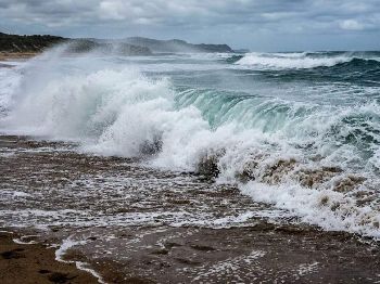
The marine side is just as busy, with a strong wind warning current for Port Phillip, Western Port, the West Coast, Central Coast and Central Gippsland Coast.
Cerberus in Western Port was already reading a north northwesterly at 15 knots (28 km/h) with a gust to 30 knots (56 km/h) at 9am Tuesday.
A gust running at double the mean is the signature of a gusty offshore gradient, and it is the sort of thing that knocks a small boat flat without notice.
On a northerly the top of Port Phillip is your lee, so St Kilda and the northern shore will look deceptively tidy from the ramp.
Push out into the middle of the bay or down towards Queenscliff and you pick up the fetch, the chop and the strain on your gear.
Track the products on the Seabreeze Victorian warnings page before you hook up the trailer.
Tasmania cops the heaviest of it
Tasmania has the strongest marine product of the day, with a gale warning current for the South West Coast from Tuesday morning.
Strong wind warnings cover a long list besides, including the Derwent Estuary, Storm Bay, Frederick Henry Bay and Norfolk Bay, the Channel and both east coast zones.
Hobart was on 12.8 degrees with a northerly at 15 knots (28 km/h) gusting 22 knots (41 km/h), and a pressure of 1011 hPa at 9am.
That is well below the other southern capitals this morning, and it tells you where the front is going to land first.
What it means at the ramp
Rule one on a day like this, do not launch into a rising northerly on a lee shore, because the water in front of you lies about the wind behind you.
The state emergency services in Victoria, New South Wales and Tasmania have attached the usual damaging wind advice to these warnings, and it is worth heeding on land too.
That means securing loose items around the yard and the boat, parking the car and trailer under cover where you can, and staying clear of trees and waterways.
Fallen powerlines should be treated as live, with the New South Wales SES advising people stay at least eight metres clear of them.
For storm assistance the SES number in all three states is 132 500, and Tasmanians can report power outages to TasNetworks on 132 004.
How strong will the alpine winds get?
Damaging gusts of up to 100 km/h (54 knots) are possible about the Victorian and Tasmanian ranges, with averages of 80 to 90 km/h forecast above 1900 metres in the Snowy Mountains.
When does it ease?
The alpine warnings have the winds peaking late Tuesday evening and easing before dawn Wednesday, though marine warnings continue Wednesday for Victoria's west and central coasts and Tasmania's South West Coast.