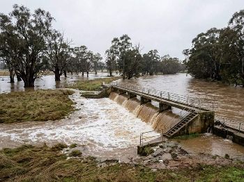
Cold Front Batters WA This Weekend

A powerful sequence of cold fronts is bearing down on southwest Western Australia, bringing what forecasters are calling the wettest spell of 2026 for Perth and the surrounding coast. The systems will deliver heavy rain, gale-force winds and significant surf through the weekend and into next week.
What's Coming
The first front has already pushed showers through Perth, with heavier rain expected to set in this afternoon and evening. A second, more powerful front is lined up to arrive from the west on Saturday, and it's this system that will define the weekend.
From Saturday evening through to Monday, conditions on the coast will be severe:
- Winds — building to 40–43 knots WNW/W offshore, with strong to gale-force gusts across coastal areas. Wind easing Tuesday.
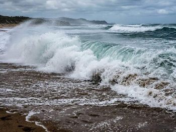
- Swell — building Saturday night to a peak of around 5–6 metres from the W/WSW by Sunday–Monday, with long 14–15 second periods.
- Rain — 10–20mm today, similar amounts over Saturday and Sunday. Total accumulations of 100mm or more are possible for the week across the southwest.
- Thunderstorms — possible in the southwest this evening as the first front pushes through.
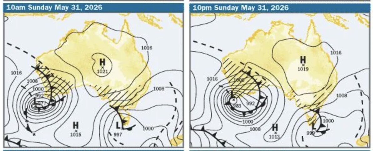
Chance of Rain: Saturday to Monday Is 100%
The 7-day forecast for Perth shows 95% chance of rain on Saturday, jumping to 100% on both Sunday and Monday. The description for Sunday is simply: "Showers. Windy." Maximum temperatures are expected to drop to 18–19°C by next week — noticeably below Perth's May average.
Marine Warnings
With swell running at 5–6 metres by Sunday, bar crossings across the coast will be closed. Anyone planning to launch offshore this weekend should postpone. Coastal reefs and beaches will be dangerous with large surf and strong rips. A strong wind warning is in effect for Perth coastal waters.
For smaller craft already on the water, the advice is simple: get in before Saturday afternoon.
Track the Fronts on Seabreeze
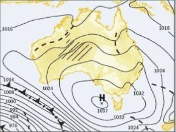
Watch the systems arrive in real time on the Perth live wind & forecast — including the wave and rain charts — and check the synoptic charts to see the fronts moving across southern WA. Forecast updated regularly.