SA rain breaks August records, rivers still rising

In short
A winter front broke August daily rainfall records at five SA sites, including 56mm at Mount Lofty and 49mm at Port Lincoln.
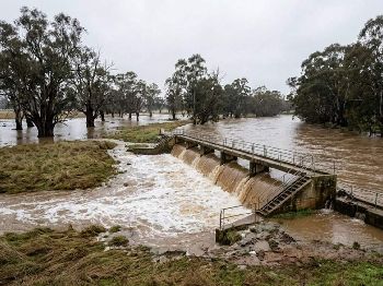
The Onkaparinga at Clarendon Weir was 11.08m and rising at 6:12am Tuesday, just under the 11.20m minor flood level.
What to watch
Hills gauges are already falling, but Clarendon and Old Noarlunga are still rising, so do not launch just because the rain has stopped.
What actually happened
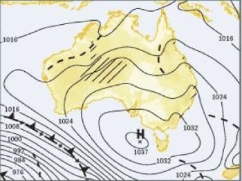
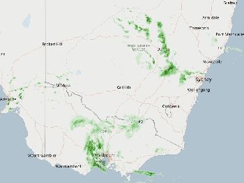
A winter front off the Southern Ocean sat over South Australia from Monday afternoon into Tuesday morning and left flooded roads, slick ramps and brown water everywhere.
Behind the rain came a blustery southerly change, and that is the part still affecting anyone thinking about getting wet today.
The rain has largely cleared Adelaide, with West Terrace logging 0.0mm since 9am on Tuesday, which is exactly the trap for a trailer boat owner watching a clearing sky.
Rain stopping and rivers stopping are two very different things, and right now only one of them has happened.
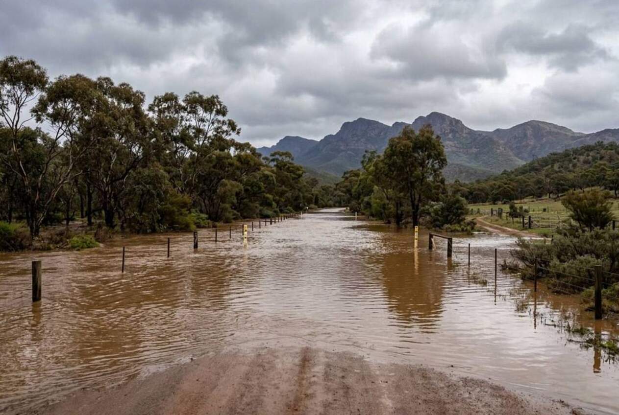
Records fell right across the state
Bureau of Meteorology senior forecaster Michael Conway said August daily rainfall records went down at Mount Lofty with 56mm, Port Lincoln 49mm, Parawa 45mm, Edithburgh 44mm and Cummins 35mm.
The heaviest falls included 65mm at Lenswood in the Adelaide Hills, which is a big number for a single winter day in that catchment.
To 9am Tuesday, Mount Barker had 36.0mm, Victor Harbor 38.0mm and Murray Bridge 22.0mm, and the Mid North was reporting more than 70mm in places.
West Terrace picked up 29mm through the event, which pushed Adelaide's August total to 97mm.
"There was a bumper year in 1852 with 158mm so it's a little off that," Conway said, describing the month as sitting in the top 10 per cent of Augusts.
The pulse is in transit
The Bureau issued flood warning number five for the Onkaparinga River at 7:39am ACST Tuesday, and the numbers tell a clear story about timing.
Clarendon Weir was 11.08m and rising at 6:12am, with minor flood level at 11.20m and the Bureau saying it may exceed that early Tuesday.
Old Noarlunga was 4.82m and rising at 7:05am, with minor flooding at 5.00m and a chance of reaching around that level during Tuesday morning.
Here is the non-obvious bit. Upstream gauges had already turned by 7:30am, with Charleston at 0.85m, Woodside 0.77m, Oakbank 0.79m and Verdun 3.02m all falling.
Houlgraves was steady at 5.83m, which means the Hills have already emptied and the water is now simply travelling down the valley.
There is also an initial minor flood warning for the Bremer River, while the Torrens warning has moved to final and is winding up.
SES, roads and comms
SES state duty officer Ian Bonython said crews had taken more than 150 requests for assistance in 24 hours, scattered widely and including the Adelaide Hills.
"Predominantly they have been flooding salvage jobs," Bonython said, which is code for a lot of water where it should not be.
SES also confirmed a swift-water rescue at Currency Creek, with CFS already on scene, and few further details available.
Brad Flew from the SES said volunteers were still busy with more rain, more wind and trees coming down.
He said the lower Onkaparinga was likely to see rises below flood levels, but that water would be moving through all of the river systems.
Sandbags are available at Lonsdale on the corner of Lindsay and Brian, and at the Noarlunga Football Club.
Police reported a serious crash on Victor Harbor Road at Hindmarsh Valley about 6:15am, where a 43 year old Port Elliot woman was seriously injured and a 26 year old Port Elliot man suffered minor injuries.
Mount Remarkable mayor Stephen McCarthy said roads in his district were really impassable, with White Well Road closed and the Melrose office shut.
He said creeks at Horrocks Highway, Melrose and Murray Town were running over roads, so anyone towing north should expect detours.
Telstra reported water ingress at the Yorketown exchange, affecting Yorketown, Coobowie, Edithburgh, Marion Bay, Point Turton, Port Moorowie, Stenhouse Bay and Warooka.
What it means on the water
Port Lincoln and Boston Bay copped a record 49mm day, so expect dirty runoff, slick ramps and tuna or kingfish crews sitting on their hands until visibility returns.
Southern Yorke is the worst of it, with flooded roads, no phone service and ramps at Edithburgh, Marion Bay, Stenhouse Bay and Point Turton either closed or under water.
The Onkaparinga mouth at Port Noarlunga will be pushing rising brown water and debris, and the bar will be shifting while the river keeps unloading.
Currency Creek, Goolwa and Hindmarsh Island had a south gust of 67 km/h (36 knots) at 7:43am, and a dirty pulse is heading for the Murray Mouth.
Spencer Gulf stays under a Strong Wind Warning at 26 to 33 knots (48 to 61 km/h), while Adelaide Metro, Central Coast, South Central Coast, Gulf St Vincent and Investigator Strait warnings have been cancelled.
Cancelled does not mean clean, and Gulf St Vincent will still hold leftover swell and discoloured water for a day or two.
Outer Harbor Black Pole hit 65 km/h (35 knots) from the south southwest at 6:34am, and Adelaide Airport gusted 54 km/h (29 knots).
Sellicks Hill recorded 63 km/h (34 knots) at 5:32am and Parawa West 67 km/h (36 knots), so the beach breaks down there are wind chop turning into a dirty closeout.
Mount Crawford also gusted 67 km/h (36 knots) at 8:45am, and Mount Lofty was 9.3C at midday with another 2.0mm on the board.
What to watch
West Terrace was 16.8C at 12:10pm with a light southwest breeze, but its highest gust was 41 km/h (22 knots) from the south southwest at 10:35am.
Kiters on the metro coast will find the change fading through the afternoon, while the river mouths stay unusable for a lot longer.
Keep an eye on the SA warnings page and work your launch around the South Australian tides , because an outgoing tide against a swollen river makes bars nasty.