QLD Coast in Winter: Dry Season Tactics

Quick summary
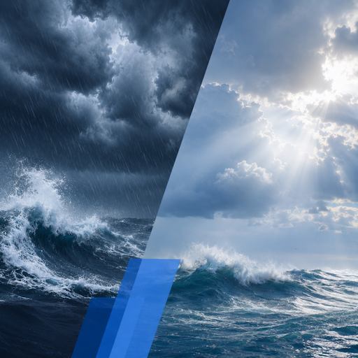
June to September is the best time to sail Queensland's coast: SE trades 15-25 knots, cyclone season over since April, and every anchorage from Moreton Bay to the Whitsundays in predictable sailing condition.
The East Australian Current weakens and shifts offshore in winter, giving inshore passages slack or weakly north-setting flow - a key advantage for northbound passage planning through Hervey Bay and Breaksea Spit.
The how-to
After reading this, you will be able to plan a northbound passage from Southport to the Whitsundays using inshore routes, tidal windows, and the trade wind pattern to make every day's sailing comfortable.
The window opens in late May and the trades fill in properly by June.
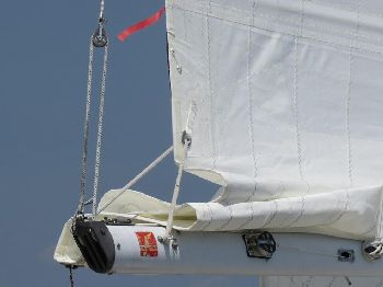
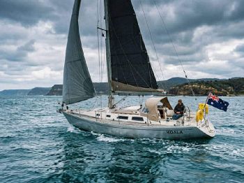
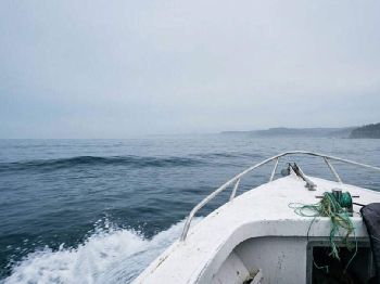
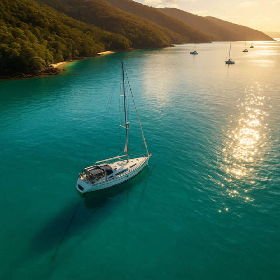
Queensland's winter is the reason cruising sailors exist. Consistent southeast trades, no cyclones, daylight anchorages at every 30 nm increment, and water that ranges from flat calm in the lee of islands to a clean offshore reach once you clear the shelf.
Most of the rest of Australia's east coast is dealing with frontal systems and cold southerlies at this time of year.
Up here you are checking the tide table and deciding whether to push on to the Whitsundays before lunch or stop short and catch prawns off the hook at anchor.
Understanding the trade wind system
SE trades run from April to November along the Queensland coast, setting up the defining feature of a northbound winter cruise: you are running or reaching almost every day.
The trades are not always gentle - 15-25 knots is the typical range, and the outer reef passages can see 25-30 knots with wind-against-current chop - but the direction is consistent and the pattern repeats.
Closer to shore, the land mass damps the trades slightly during the day and the sea breeze reinforces them from midday onward.
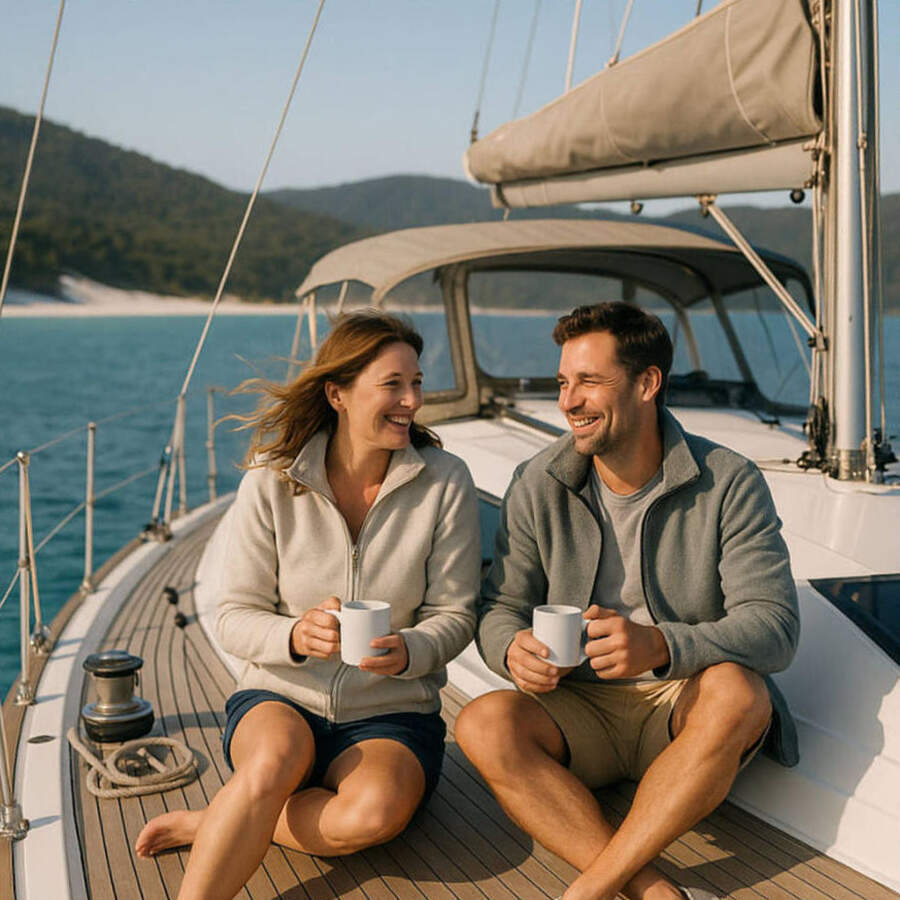
The common mistake is leaving too late in the day: launch off an anchorage at 0700 with the early trades, cover ground before the midday chop builds, and be anchored with a sundowner in hand by 1400.
Trades strengthen as you move north - the same 20 knots that feels like a gentle reach off the Sunshine Coast arrives on the nose as you push through the inner passages north of Townsville.
The four sections of the coast
Experienced QLD cruisers divide the passage into four sections, each with its own character and planning requirements.
From Southport to Rosslyn Bay (approximately 385 nm) you have three major sheltered inshore passages: Moreton Bay via North Stradbroke Island, the Great Sandy Strait inside Fraser Island, and the Narrows inside Curtis Island.
Moreton Bay is a shallow, tide-sensitive system - tidal currents reach 3 knots in narrow channels, and strong SE wind builds short steep seas across exposed banks.
Plan Moreton Bay crossings with flood tide and in moderate conditions: the transit from Southport to Mooloolaba via the inshore route requires at least two days to do properly.
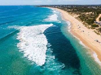
The Great Sandy Strait is one of the finest pieces of protected sailing water on the east coast - a 60 nm corridor with Fraser Island blocking all weather from the east, consistent depth once you know the channels, and fishing grounds that produce whiting, flathead, and mud crabs for provisioning.
Rosslyn Bay to the Whitsundays is an open-water section of around 180 nm where the trade wind pattern is at its most reliable and the coast offers fewer sheltered harbours.
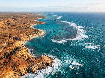
The Whitsundays to Lizard Island (approximately 450 nm) is the classic upper-reef cruising ground, with the Coral Sea to starboard and continental island anchorages every 20 nm.
The East Australian Current in winter
The EAC is a southbound current that weakens significantly in winter and retreats well offshore, with the core lying beyond the shelf break rather than inshore.
This is the single most important piece of knowledge for planning a northbound winter passage.
In summer, the EAC pushes south at up to 4 knots within 20 nm of the coast in places - fighting that current northbound is exhausting and fuel-hungry.
In winter, inshore waters are often slack or carry a weak northerly set, particularly relevant when rounding Breaksea Spit at the top of Hervey Bay where the continental shelf narrows and current effects concentrate.
Stay inside the 30-metre contour and you mostly avoid whatever current is running offshore.
Tides: the QLD coast variable you cannot ignore
Tidal range increases dramatically as you move north. Moreton Bay has a range of around 1.5-2 metres at springs, manageable for most boats.
By the time you reach Shoalwater Bay and the Capricorn Group, spring range reaches 6 metres - this is chart datum territory, and anchoring decisions must account for the full swing.
The Whitsundays run 1.5-4 metres depending on the moon phase.
Tides in the Whitsunday Passage flow south on the flood and north on the ebb, meaning a late-afternoon departure from Airlie Beach to Cid Harbour benefits from a north-setting ebb under you.
Check Seabreeze QLD tide times before each passage - never anchor on the basis of depth shown at time of arrival without calculating the drop to low water.
Bar crossings on the QLD coast
The QLD coast has fewer river bar crossings than NSW, but those that exist carry serious risk when conditions deteriorate.
Maritime Safety Queensland's rule is direct: never cross a bar on the run-out tide, never in swells above the bar's rated limit, and always seek local knowledge before your first crossing at an unfamiliar entrance.
The Fitzroy River entrance at Rockhampton (Keppel Bay), the Pioneer River at Mackay, and the Ross River entrance at Townsville all require bar awareness.
In winter, reduced swell energy from the south generally improves bar conditions compared with summer, but a passing trough or southerly change can raise conditions inside 24 hours.
"The Whitsunday Passage rewards patience - those who rush from island to island miss the difference between a good anchorage and a perfect one."
The Whitsundays: practical anchoring guide
Cid Harbour on Whitsunday Island is the best all-weather anchorage in the group: 10-20 metres of depth over holding mud, completely sheltered from SE trades, and large enough to absorb a dozen boats without crowding.
Sawmill Bay within Cid Harbour reduces to 8-15 metres with similarly excellent holding - the go-to choice when the main anchorage feels full.
Blue Pearl Bay on the western side of Hook Island is the manta ray anchorage - anchor in 5-8 metres over sand and they come to you, particularly in the late afternoon.
Macona Inlet on Hook Island is a fjord-like passage roughly 2.5-3 hours from Coral Sea Marina - protected, photogenic, and rarely crowded outside peak school holiday periods.
Whitehaven Beach on the eastern side of Whitsunday Island has no true overnight anchorage - the holding over sand is poor and surge exposure uncomfortable - but the dinghy landing at the north end near Hill Inlet is worth the day anchor if the SE is below 15 knots.
Sea fog: the one winter hazard
Sea fog forms along the QLD coast south of Cardwell, particularly between the Whitsundays and St Lawrence during June and July when moist air from the Coral Sea meets cooler coastal water.
Fog patches can reduce visibility to under 200 metres and form quickly after midnight on clear, calm nights.
Carry radar or a reliable AIS-with-chart-plotter if you are making overnight passages through this section.
Fog typically burns off by mid-morning as the SE trade fills in - the practical response is to anchor before sunset rather than pushing through a foggy night.
What to have on board
A shallow-draft dinghy with a 4-6 hp outboard is more useful on this coast than almost any other piece of equipment - anchorages are often 200-400 metres from shore, the fishing spots are inside reef lines, and provisioning runs to small marinas require it.
Carry 7-10 days of provisions from each major supply point (Southport, Mooloolaba, Bundaberg, Gladstone, Mackay, Airlie Beach, Townsville) - gaps between full supermarkets grow longer as you push north.
All vessels under 25 metres on coastal passages are required to carry EPIRB, flares, life jackets, and fire extinguishers meeting the AMSA standard for restricted offshore operations.
Questions to ask before you go
What keel draft am I working with? The Great Sandy Strait and parts of Moreton Bay have shallow sections that restrict deep-draft vessels - check the Shoal Bay entrance depths on the current chart for keels over 2 metres.
What are the marina and anchorage conditions like this season? Check current reports via the Seabreeze forums from cruisers who are already on the water - conditions change year to year.
Do I have a plan for a southerly change? Even in the dry season, strong southerlies can push through ahead of inland troughs - know which anchorages offer SE-to-S protection along your intended route.
Am I planning my fuel stops for light-air days? The trades occasionally die for 12-24 hours - a generator-run or motor-sail strategy that does not drain fuel reserves to critical levels is worth planning before you leave Southport.